Katz provides a disciplined analysis of atmospheric variables, skillfully balancing technical rigor with the inherent uncertainty of slow-moving systems. This is a refreshing example of professional communication that prioritizes scientific nuance over sensationalism.
Install our extension to search inside any video instantly.
Changing forecast scenarios for slow-moving Tropical Depression No. 2
Added:Now, [music] your first alert weather from chief meteorologist Bruce Katz.
>> Well, right now things are really calm out there. Taking a look at Grand Isle, speaking of it, big tarpon rodeo this weekend going on. It's a beautiful day on the island, but farther south and east, not so much. As we take a look, tropical depression number two, as we take a look, the winds are still at 35, moving very slowly, kind of drifting as it has, at about 3 mph to the northwest.
Pressure has not fallen. It has not gotten any stronger, and some of the boost to the east of it even, I mean 25 to 30 mph winds. So, right now not a tropical storm, not a named storm yet, but tomorrow that could certainly happen. Now, I'm going to point out a lot of things for you, kind of to get you know, some things in perspective.
Here's the actual center. The center has nothing wrapping around it as far as storm, so it's not getting stronger. But with shear going on, where are all the big storms? It is really storming farther south and west by 200 miles from the center itself. So, at this point, this system is going to really struggle over the next couple of days. Closer in, take a look. This is our highest resolution. Every minute we're getting a picture now, and you'll notice around the actual center, there's nothing going on. That's a good thing. We don't want to see storms developing around the center. Now, as we take a look at the models, the models are pretty much in agreement to a point.
But taking a look at some, some of the models indicate, and some of the reliables kind of bring this thing closer toward the Alabama-Florida border, and then kind of drift it westward. Look at the spread. Basically, from Mobile all the way down about 300 miles into the gulf. So, this is a pretty big spread that we're looking at.
So, as of right now, there's still quite a bit of uncertainty. The steering on it has collapsed. At this point, we've got a big ridge of high pressure to the northwest, another one over the Bahamas.
In between it, where the storm is, there's just nothing to pick it up. I'm going to show you a couple of scenarios now, either moving toward Louisiana or moving a bit farther east of us. So, is it at this point steering? Nothing going on. It's waiting to get picked up. This ridge of high pressure, it's moving in and as it moves off to the east, likely staying north, it's going to pick up the storm and ride it more westward that the models are saying at this point. So, that is scenario one that the Hurricane Center is thinking. Scenario number two, is it east of us? Still waiting for steering, not much going on now. Here's that ridge doing nothing for it. The one off to the northwest not affecting it yet, but the high at this scenario moves farther east as it lifts on out. So, notice as it moves eastward, it may allow an alleyway for this to kind of pick up northward and move a bit farther east of us. What does Bruce think? As of right now, there are too many questions to answer. Will this be a major storm?
No. Will this be a major flood event as far as rain? We've got the potential, but right now I'm looking a little more optimistic that we may not get as much rain with some of the scenarios coming in. A couple of scenarios say, here's your center, heavier storms here. As the storm moves off to the west, it may create some shear just before the high moves in. It may weaken a bit and actually down southwest, we may get a little mid-level low developing. That's why most of the rain is contract uh contacted and uh also at least uh expected to be along the coastal regions. During the day today, we saw a couple of showers moving in, no big deal at all. The 5K forecast model shows it here and moving off to the northwest by 7:00. Potentially a tropical storm.
Right now, the hurricane uh hunters, they're in it right now. Look where the rain is. How far south? Love that. Still some shear going on, moving northwest to three tomorrow, and then moving off a bit farther north and west by 7:00 a.m.
Still the rain down in the south. Will this begin to dissipate a little bit on the northern end, and we see a mid-level low developing farther south where the rain is? Well, at this time, some of the models are coming into that agreement.
Not going to say we're not going to get heavy rain over the area. As of right now, it looks like things may be looking a bit better, but we will not let our guard down. Take a look at Thursday. I mean, what's happening? It moves off to the west, just a few showers and storms.
So, at this point, it's a wait-and-see situation. We will have more data from the Air Force recon plane, as well as newer updates coming in, but some of the newer runs have been a little more optimistic. Heavier rains down in the south, and as I mentioned, with that low-level circulation moving in, we may see it kind of dissipate, the energy spreading toward the Gulf with the heaviest of rain. So, right now, we're still too close, splitting hairs, where we could see any shift northward 50 to a 70 mi, we could get into two to four to five inches. So, we're not going to let our guard down. We're not going to write this thing off as of yet. So, we're putting out our first alert, coming in likely into Wednesday, Wednesday night into early Thursday, high rain chances, sun and storms potentially late Thursday and Friday when it moves out. But, at this point, right now, John, Liz, at this time, it looks like the system is not getting stronger. On top of that, it's got a lot going against it, and the good news, all the heaviest storms are way down in the Gulf. So, if that continues, we may see a light at the end of the tunnel with hopefully not much in the way of any major impacts. Yes, a breeze, yes, spotty storms, but hopefully not those big downpours with floods. Of course, we'll be monitoring it, and our
Related Videos

0:16
Environmental Science
Ez a tökéletes kör alakú sziget magától forog!
a_vilag_mesei
748 views•2026-04-17

37:15
Environmental Science
Global observing needs in the deep ocean
usclivar
101 views•2019-11-13

6:20
Environmental Science
Community-Based Restoration Project Aims to Protect Forked River Beach
americanlittoralsociety6774
1K views•2022-12-16

3:54
Environmental Science
FORTO VN: LAUNCHING REFORESTATION PROJECT OF RHIZOPHORA APICULATA
manglubsocialenterprisevie1137
197 views•2022-08-04

1:05
Environmental Science
Fifth anniversary of Deepwater Horizon explosion; BP oil spill
tampabay28
2K views•2015-04-20

3:08
Environmental Science
Howard A Hanson Dam "Fish Passage Facility Project" on the Green River, King County, Washington
marcmarcantonio
961 views•2022-02-25

42:39
Environmental Science
Advancing global ecosystem-based management
NOAALibrary
290 views•2025-01-09

15:41
Environmental Science
The Future of Biodegradable Plastics
OneminuteSci
264 views•2025-05-04
Trending

9:05
Artificial Intelligence
2.4 BILLION Records Got Leaked...
DeepHumor
15K views•2026-07-22

13:25
Business
Playstation NO DISC/NO BUY Fight Is Over...
DavidJaffeGames
4K views•2026-07-23
19:32
Business
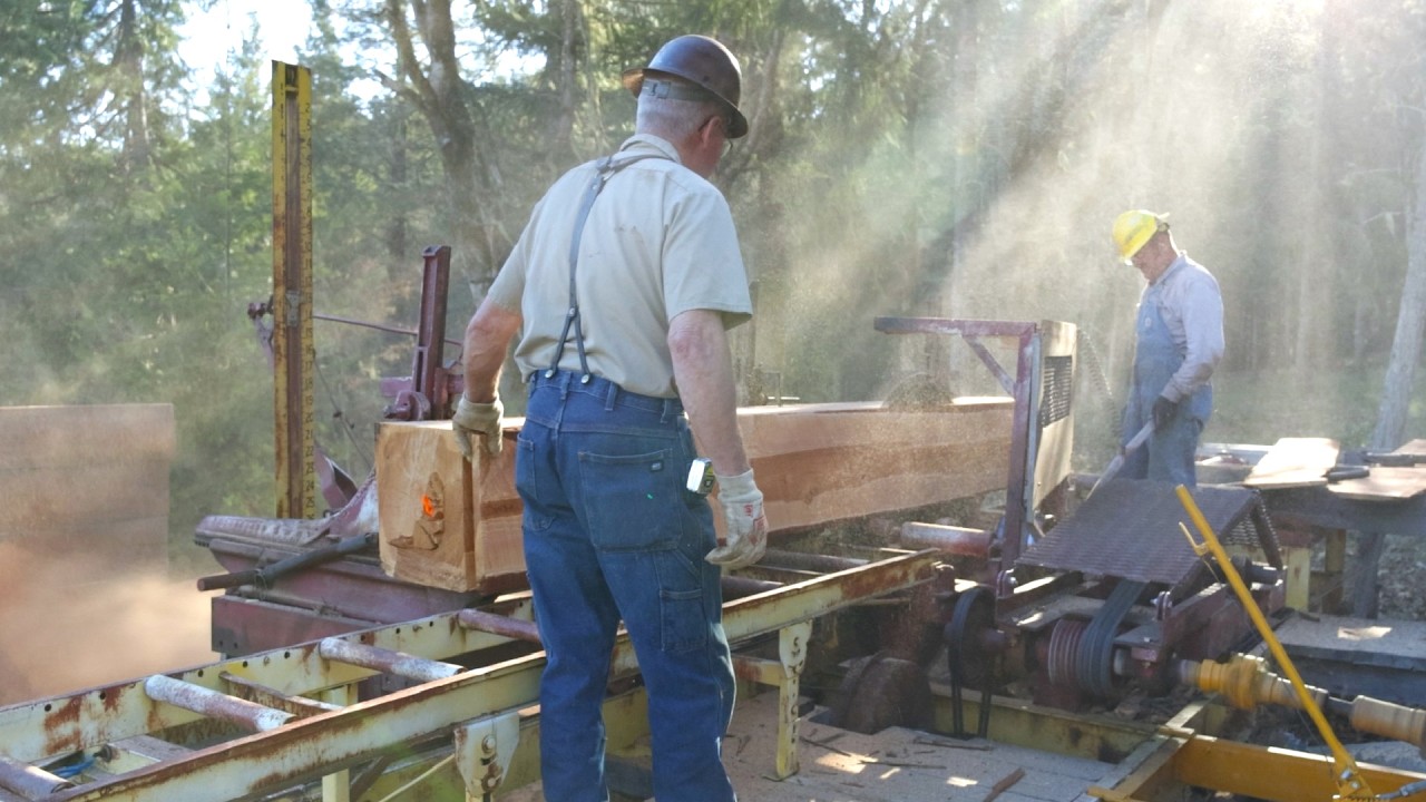
Should I buy a Sawmill?
essentialcraftsman
29K views•2026-07-22

16:52
Anthropology
Americans Confused in Australia for 17 Minutes Straight
IWrocker
17K views•2026-07-23